
beExploring.com Tools
Tools
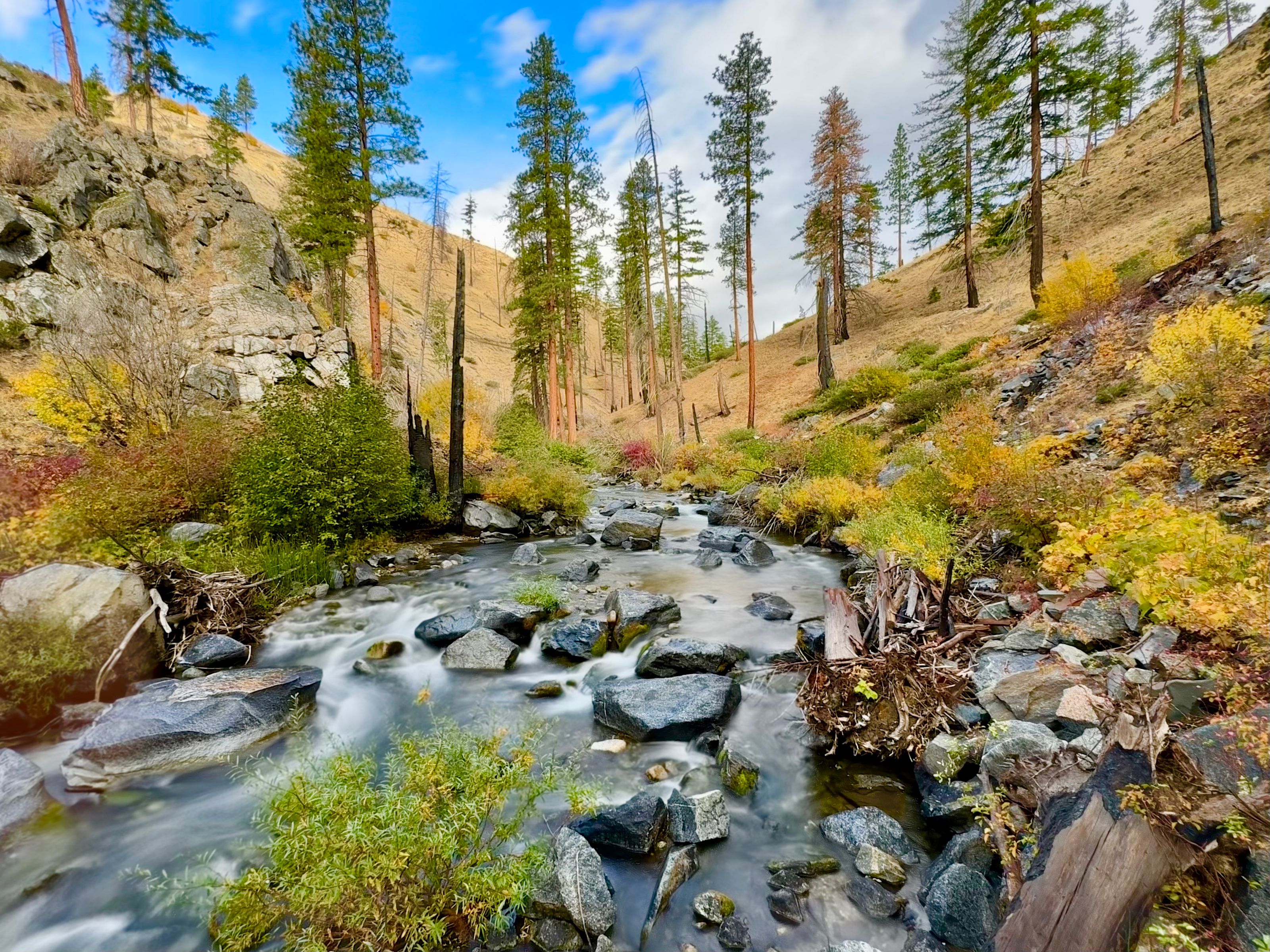
Getting outside should be simple, inspiring, and informed. Our growing collection of interactive outdoor tools is designed to help you plan smarter, travel safer, and spend more time doing what matters most—exploring. With our map-based forecasting tools, you can click anywhere on the map to instantly get a pinpoint weather forecast for your exact location. Whether you’re planning a hike, ski tour, or weekend adventure, you’ll have access to the detailed, location-specific conditions that matter in the mountains and backcountry. Need precise coordinates for a trailhead, campsite, or peak? Our longitude and latitude finder lets you quickly grab exact GPS coordinates for any point on the map—perfect for navigation, route planning, and GPS devices.For winter travelers, we’re also building a dedicated Washington Backcountry Ski Forecast Tool, giving you fast access to current and upcoming weather conditions for popular ski touring zones across the state. From snow and wind to temperature and visibility, you’ll have the insights you need to make safer decisions in changing mountain environments. These tools are built by explorers, for explorers—and this is just the beginning. We’re continuously adding new features to help you plan better adventures, wherever the trail leads.
mapping
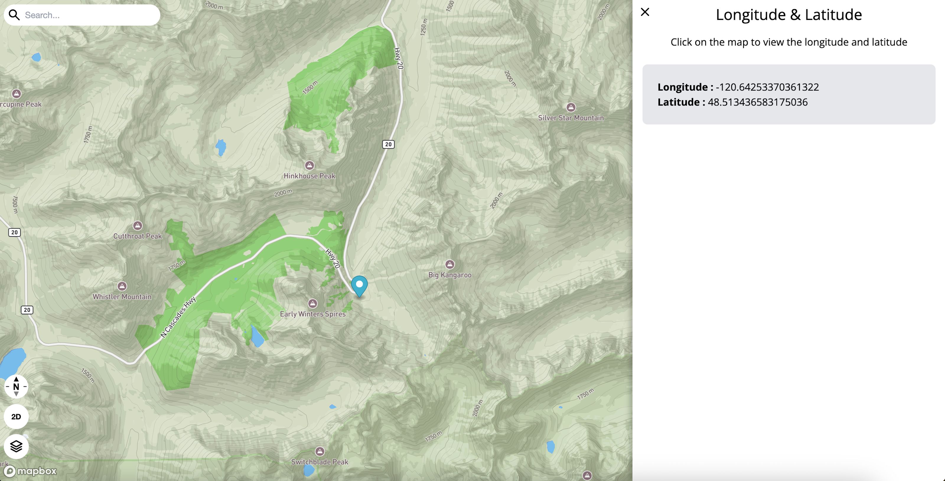
Longitude & Latitude
Quickly find precise GPS coordinates for any point on the map. Whether you’re marking a trailhead, sharing a campsite, or loading routes into your navigation device, this tool makes it easy to capture accurate latitude and longitude in seconds.