Click on an item on the map to view information about it
beExploring · Trip Reports · Washington · Seattle
Frink, Leschi and Madrona Parks
Frink and Leschi Parks are two very small parks with an interconnected trail system winding through a beautiful forest along the hillside within the Leschi neighborhood in Seattle. A short distance away sits the likew…
Plan This Trip
At a Glance
straighten
Distance
3.3 miles, roundtrip
trending_up
Elevation Gain
400 ft
landscape
High Point
120 ft
backpack
Activity
Hike
Photo Highlights · October 2021
Jump to Trip Report →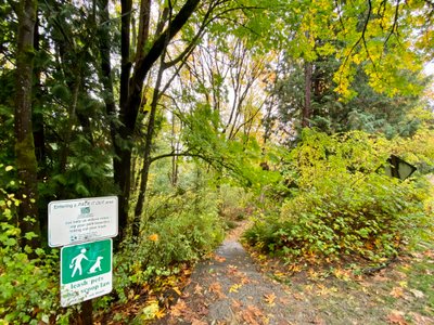
Plan This Trip
Why Go
Frink and Leschi Parks are two very small parks with an interconnected trail system winding through a beautiful forest along the hillside within the Leschi neighborhood in Seattle. A short distance away sits the likewise small Madrona Park in the, you guessed it, Madrona neighborhood, with beachfront access and sweeping views of Lake Washington. While each park on its own doesn’t have enough space to allow for more than a quick walk, combine them together and you get to experience the diverse beauty of urban hikes in Seattle.
Frink park has a number of well-defined, but unnamed trails criss-crossing through it. Pick a spot to start from either Lake Washington Boulevard or 31st Ave and make your way down and north towards Frink Park (I used Google Maps on my phone to help guide me, as I encountered a number of trail junctions along the way). Wander through Frink Park down towards Lake Washington and walk north along Lakeside Avenue past the Leschi Marine, at which point there is a waterfront trail you can follow. Enjoy the waterfront views as you follow the trail past Madrona Park to its terminus at East Pine Street Shoreline Street End, marking your turn around point.
Follow the waterfront trail and before you reach the Leschi Marina, cross the street and start ascending the hill on Lake Washington Boulevard. Take a right on East Yesler Way, right before the defunct overpass, and you will find the start of the trail system. Follow the same path you came down, or explore a new trail back to the car.
Frink park has a number of well-defined, but unnamed trails criss-crossing through it. Pick a spot to start from either Lake Washington Boulevard or 31st Ave and make your way down and north towards Frink Park (I used Google Maps on my phone to help guide me, as I encountered a number of trail junctions along the way). Wander through Frink Park down towards Lake Washington and walk north along Lakeside Avenue past the Leschi Marine, at which point there is a waterfront trail you can follow. Enjoy the waterfront views as you follow the trail past Madrona Park to its terminus at East Pine Street Shoreline Street End, marking your turn around point.
Follow the waterfront trail and before you reach the Leschi Marina, cross the street and start ascending the hill on Lake Washington Boulevard. Take a right on East Yesler Way, right before the defunct overpass, and you will find the start of the trail system. Follow the same path you came down, or explore a new trail back to the car.
Plan This Trip
Route & Map
Plan This Trip
Getting There
directions_car
Directions
Heading west on Yesler Way, turn right onto 3n2d Ave. Turn left onto S Washington St, which turns into S Frink St. Take a sharp right onto Lake Washington Boulevard and begin to took for a place to park.
local_parking
Parking
There is no dedicated parking lot in Frink Park, however there are a number of pull outs with parking spaces along Lake Washington Boulevard. No parking pass required.
edit_note
Field Notes · Personal Trip Report
Waterfront Forest Run
We grabbed a midday escape to chain three small parks into one sweeping loop, dropping through Frink's hillside forest before catching Lake Washington's glimmer from Madrona's rocky shore.
calendar_today October 29, 2021
straighten 3.3 miles, roundtrip · 400 ft gain
chat 0 comments
I had recently heard of Frink Park, and while it was a very small park, it looked like it had some nice trails and was a place I wanted to explore. My wife and I were looking to get at least a couple of miles in, and consulting the map it looked like it was easy to get down the waterfront trail in Madrona, so we took an extended lunch break and headed out.
The start of the trail
Driving down Lake Washington Blvd through Fink Park it was clear this is a cool place. I was unsure where we would begin our hike, as there isn’t a centralized parking area. Towards the Southern end of the park we were able to find a parking spot on the side of the road for a couple of cars, and we pulled off and walked a couple hundred yards to a trail.
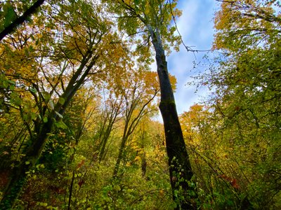
Tall trees in Frink Park
A trail in Frink Park
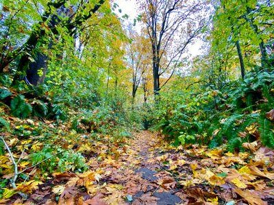
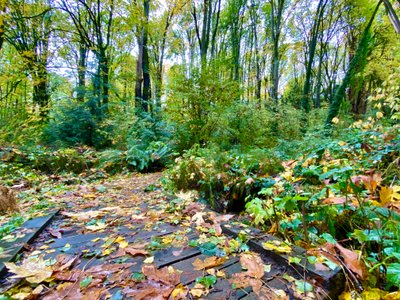
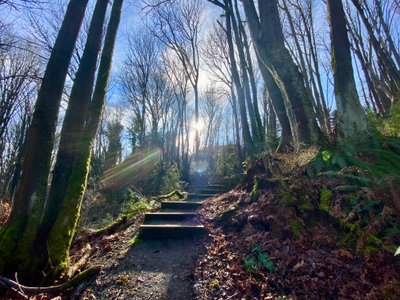
Frink Park is situated on the side of a hill, and the trail descends down to the hill and towards a small stream. None of the trails are named, and there is no signage, so I had to consult Google Maps a couple of times as we came to trail junctions. We crossed a couple of roads, and eventually reached the northern end of Frink Park. We left Frink and crossed over into Leschi Park and walked down towards the water, passing by South Leschi Moorage before hooking into the Waterfront Trail along Lake Washington.
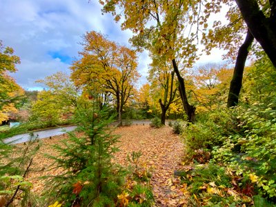
Leaving Frink Park
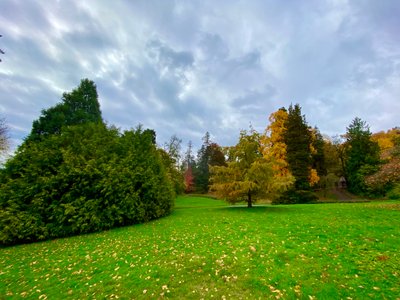
Walking through Leschi Park
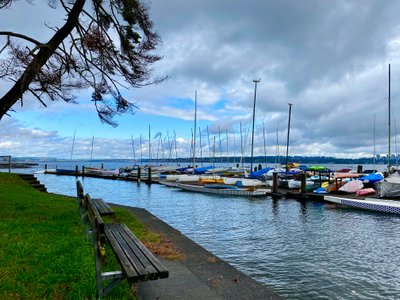
Leschi Marina
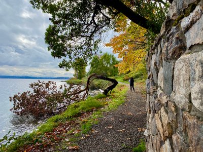
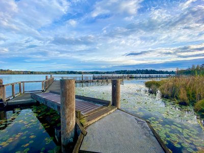
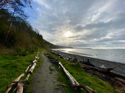
The walk along the waterfront was nice, and we passed through Madrona Beach and Madrona Park, before reaching the end of the trail at the East Pine Street Shoreline Street End. I have seen a number of Shoreline Street Ends in Seattle, and didn’t know what they are. It’s a program from the Department of Transportation to provide public access to the waterfront throughout Seattle including Lake Washington, and there are close to 150 throughout the city.
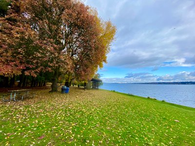
Madrona Park
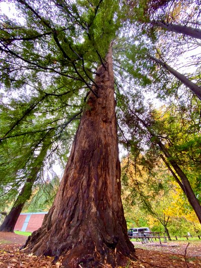
Huge tree in Madrona Park
East Pine Street - Shoreline Street End
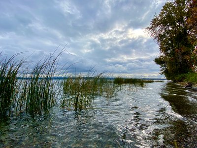
Lake Washington
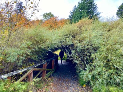
Waterfront Trail near Madrona Park
Frink Park trail
We got onto the trail back into Frink Park and descended the hill, quickly reaching the same trail we had come in on. It was a good amount of uphill, but pleasant going through the forest.
Frink Park is great - while the trails are short, it’s a really nice area and I like the fact it has a good amount of up and down. Combing Frink Park with Leschi and Madrona gave us a long walk, and a good mix of forest and waterfront.
Comments
on this trip report · Oct 2021
More From The Area
Nearby Trip Reports
beExploring / Seattle

Comments
0No comments yet. Be the first to share your thoughts!