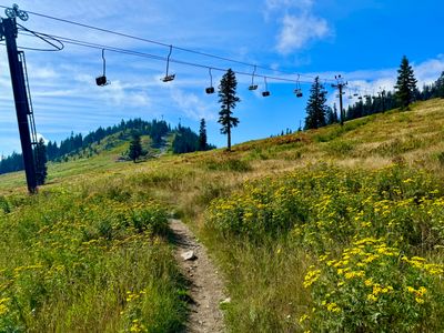
Snoqualmie Pass — Washington State
Snoqualmie Pass
Conditions
Weather, air quality, trail closures, and campfire restrictions for near-term trip planning at the pass.
Full Snoqualmie Pass Guide →beExploring / Snoqualmie Pass
Overview
Use this page when you are deciding what to do in the next few hours to a couple of days — not for month-by-month trip planning. It covers the pass itself at around 3,000 feet, from Alpental and the Summit ski areas across to Hyak and Gold Creek, plus the trailheads strung along both sides of I-90.
Snoqualmie Pass is the crest, which makes it two places at once. Weather at the summit can differ sharply from North Bend forty minutes down the hill, and the pass sits on the boundary between two national forests, so the rules and the closure notices you need come from two agencies rather than one. Both are covered below, with one gap in the closure feed spelled out where it matters.
beExploring / Snoqualmie Pass
Weather & Air
Short-term forecast and air quality for the pass at about 3,000 feet. The summit runs colder, windier, and wetter than North Bend or Cle Elum on either side, and snow lingers on the higher trails long after the lowlands dry out. This forecast does not describe I-90 itself — for road status, chain requirements, and pass closures, check WSDOT.
beExploring / Snoqualmie Pass
Closures
Closed trails and trailheads around the pass, with the reason for each. One limit worth knowing before you read the list: the pass is the boundary between two national forests, and this feed covers only the Okanogan-Wenatchee side. Trails east of the summit on the Cle Elum Ranger District — Gold Creek, Rachel Lake, Lake Lillian, Alta Mountain — appear here. Trails west of the summit on the Mount Baker-Snoqualmie side, including Snow Lake, Denny Creek, Franklin Falls, and Melakwa Lake, do not. An empty list below does not mean the west-side trails are open, so check the Mount Baker-Snoqualmie alerts page for those.
Loading closures…
beExploring / Snoqualmie Pass
Fire Restrictions
Campfire and burn restrictions for both national forests that meet at the pass, plus DNR-protected land on the approaches. The two forests set their rules independently, so in a dry summer one side of the summit can be under restrictions while the other is not — check the side you are actually camping on.
beExploring / Snoqualmie Pass